Saturday, June 17, 2023. Despite the delay scare yesterday, the train made it to Jasper within a few minutes of the scheduled time of 6:30am. We made sure we were up a bit before then so we could pack up the last of our things, then disembarked into light rain. We hung around the station waiting for our checked bags which appeared without a problem despite the initial tagging oopsie.
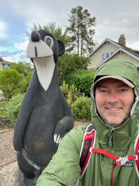
We had about two hours to kill before we could pickup our rental car, so we grabbed breakfast at Tim Horton’s again and planned to go for some caches and adventure labs. The breakfast part went off without a hitch, but we only made it through one cache and one AL before Amber decided she wasn’t interested in tromping around in the cold and rain with all our stuff (totally reasonable). So she took the girls back to the train station to wait inside since it was also the rental car location, and I continued with the original plan. I found a couple more in the rain (including one near Jasper the Bear) and learned some interesting Jasper history before my time was up and I headed back to the train station, too.
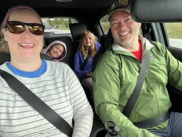
Once the National counter opened, they gave us a Honda H-RV which they classify as a compact SUV. It’s definitely compact, but it holds a surprising amount of luggage in the back and was roomier than I expected. With the key in hand, we loaded up and hit the road for the roughly three and a half hour drive to Banff. Since it’s only a few hours from Jasper, we decided when planning the trip that it was too close to pass up the opportunity to see both. There’s really only one logical route to get there, and that’s via the Icefields Parkway. We planned to take our time and make several stops along the route. We had a list of options so we could hit some of them today and some of them on our way back to Jasper in two days.
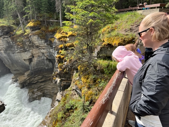
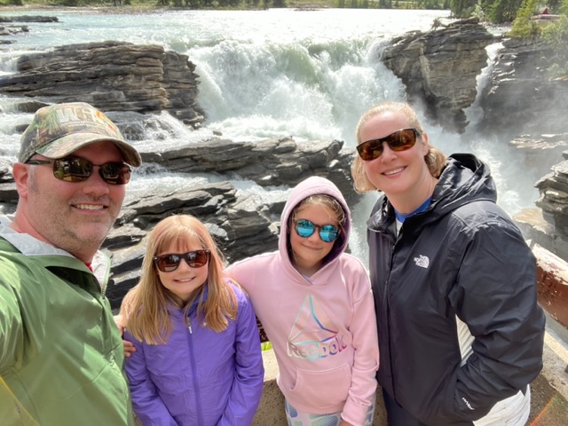
Stop number one came pretty quickly: Athabasca Falls. It’s not the widest or tallest waterfall, but it was pretty impressive all the same. The girls helped me find the answers for an EarthCache by reading all of the information signs. It was only sprinkling by this point, so we had fun exploring the area and it’s various observation points. We found a physical cache on our way out, then hit the road again.
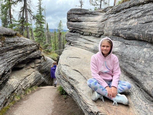

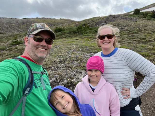
After climbing up several thousand feet and coming through the Sunwapta Pass, our next stop on the list was the Parker Ridge Trail. It was quite a bit colder by this point due to the change in elevation, but the rain stopped shortly after we hit the trail. This hike goes from the Icefields Parkway and climbs up the side of (surprise!) Parker Ridge. The first half of the trail is a series of switchbacks through a gorgeous forest of fir and spruce trees, while the second half tops the tree line.
The parking area sits at around 6600 feet of elevation, and hiking all the way to the top of the ridge requires climbing another 1100 feet or so. We figured the girls wouldn’t get that far, so we targeted a bench just below the halfway mark instead. The sun came out for a while as we walked through the trees, which translated to lot of removing and re-adding layers as we alternated between shade and sun. Once we reached the bench, we decided to keep going a little further. We ended up clearing the tree line and stopping right around 7200 feet of elevation. Let’s just say there was a fair amount of huffing and puffing from Amber and me, but it was worth it.
When we were about halfway back down, it started raining lightly. We were mostly prepared for that, but got a surprise when the rain turned to graupel which continued for the remainder of our walk back to the car. We really are getting a little bit of everything in terms of weather (unintentional foreshadowing).
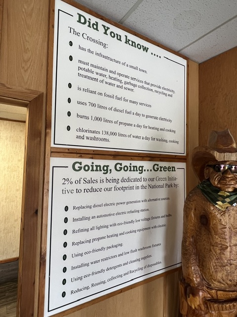
I think my planning for this stretch was pretty good overall, but I neglected one thing: lunch. The Icefields Parkway runs through Jasper and Banff National Parks which are mostly wilderness with relatively few places to stop for food or supplies. We were pushing mid-afternoon when we finally reached The Crossing. This facility is basically it’s own small town since it has to be fully self-sufficient. For us, it was a welcome spot for a late lunch before we hit the road again.
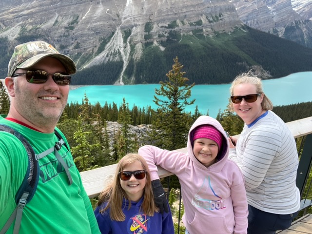
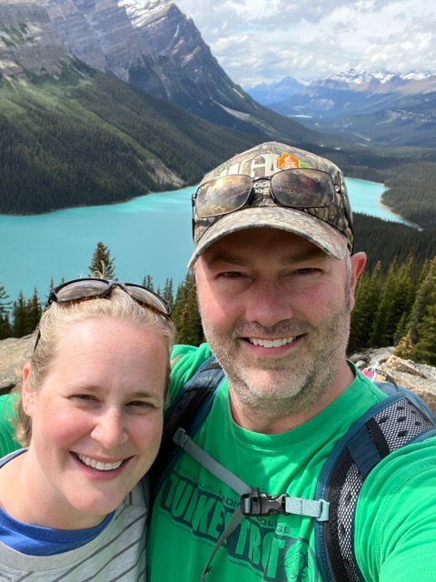
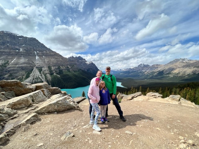
Our third and final stop before reaching Banff was Peyto Lake. We took a paved, but sometimes very steep trail up to an observation platform for great views of another blue/green lake. Then we went off the paved trail to a higher observation point that was much less crowded. I grabbed the details for an EarthCache and a virtual, then we moved on.
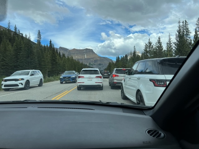
In our last stretch of driving, we came upon a bunch of cars stopped at the sides and in the middle of the road. What the heck is going on? Oh, of course there’s a black bear at the side of the road. And people are the worst.
We finally rolled into Banff around dinner time. We got checked into our hotel, Charltons Banff. It’s got a strange indoor/outdoor layout, but it was pretty nice overall and we had a view of the mountains.
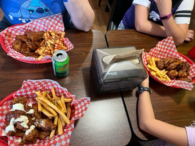
We finished off our evening with dinner at Alberta Wing Shack. We were looking for something simple, and this fit the bill nicely. Amber got the Toronto Maple Leafs flavor (apple butter mesquite), while I went with Smokey Blue, and we got Honey BBQ for the girls.

