Day One: Project A.P.E.

After a long day of travel and a late bedtime last night, today started way too early. The girls were up at 4:30. “But Mom! It’s 6:30 our time!” “I don’t really care. Go back to bed.” Hmm, imagine that, they both fell back to sleep. By 7:30, we were all showered and out the door to the market around the corner for a few breakfast and sandwich items for the apartment.

By 9:30 we were out the door again for our first excursion. We picked up our mountain bikes from Evo Snoqualmie Pass and headed to the parking lot across the street for some practice with hand breaks and gear shifting. Although originally apprehensive, Ellie picked up it up really quick. Then, off we went.

The first 3 miles were county highway-esque riding with some really fun down hills for the second half. At the bottom we paused for a bathroom break, to put on our jackets, and turn on all of our bike lights. Then, we proceeded into the tunnel.

It was a pretty busy morning; quite a bit of foot and bike traffic. A former train tunnel, the Snoqualmie Tunnel is approx 2.7 miles of cold, damp, darkness. And imagine that, there is a cache in the 13th alcove from the parking lot (GCJMDK – Bloody Fingers, Dirty Diapers…). An easy find and our first encounter with other cachers. With the log signed and Pathtags exchanged we hopped back on the bikes and kept going.

Once out the other end, we paused at some tables for a picnic lunch of PB&J, Pringles, and Chips Ahoy. We just happened to sit down across from a group of cachers from Denmark and more Pathtag exchanges ensued. Finally, on to our ultimate goal for the day, APE (GC1169 – Mission 9: Tunnel of Light)!

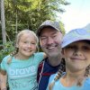
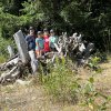
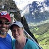
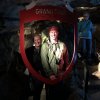
One downside to caching in this area right now is the number of other cachers in town because of GeoWoodstock that was in Abbottsford two days ago and the 20th Anniversary of Caching Party this next weekend. It is fun to meet other cachers, but makes finding some caches a little anticlimactic. That is a long way of saying there were cachers at the APE cache when we got there and more showed up as we were signing the log and exchanging swag and even more showed up as we were trying to leave. So, we took the obligatory family photo at this location, then hopped back on the bikes and kept heading down the trail.

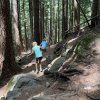
About a mile later, we arrived at the trailhead for our next adventure. We dropped the bikes against a tree and started down the trail. What an absolutely beautiful hike! The trees out here are so massive. There’s very little undergrowth, so you can see quite a ways through the dense forest. This trail is well kept; as Ellie put it, this is a ‘red carpet trail’ and makes for a nice, easy, down hill hike.

About 30 minutes later we arrived at our goal (GC2FHZ7 – The Rocket Cache). I hung out on the path while Carson, Mackenzie, and Ellie ventured across downed trees, over rocks and boulders, through unknown brush to find the largest cache we have ever seen, stashed inside a pile of large rocks. With the log signed, we made our way back up the trail to our bikes, mounted up and started our trek back to where we started.

On the way back, we stopped at a few more caches: two easy to find just off the path, revisit at the APE cache for photo do-overs, and a short hike up to GC79 – Iron Horse.

With caches done for the time being, we put our jackets back on, turned on all of our lights again, and headed back through the tunnel. Once out the other end, we realized it was 430 and we had to have the bikes back to Evo by 5. Oops… With jackets stashed back into the bags, we started the slog up hill. You remember at the start of the day, how we had a nice ride down hill? Well, what goes down, must come up. After riding and hiking for over 6 hours, we were all pretty pooped! Let’s just say we made it a couple minutes before we gave up and started to walk. About the time we started contemplating hitch hiking, we came to a large parking lot and pulled off for a break and to call the bike place to ask for a ride, or at the very least let them know we would be late. As expected, no-ride-for-you but, hey, we don’t close until 6, so there’s that… back to walking… About halfway back to the shop, the grade leveled out and we hopped back on our bikes. At this point, I don’t recall why, Mackenzie was frustrated about something and took off. (You go girl! Use that energy to finish this ride!) Carson took off in hot pursuit. Meanwhile, I hung back with Ellie, cheering her on with motivational quotes (some garnered replies of tears and sobs of exhaustion).

Alas! Is it a mirage? Is it a ghost? No! It’s the bike shop! We did it! We made it! We survived! Or did we? Noooo! The shop is at the top of a long 30° inclined driveway… We got this; one last charge before we completely collapse. Finally… we made it… we is done with this…

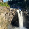
With bikes returned, we climbed in the car and headed back toward Seattle. Since it was on the way, we stopped at Snoqualmie Falls to take in the waterfall and learn about volcanic bombs (didn’t finish the earth cache, though). Afterwards, we grabbed a quick dinner at Rhodie’s Smokin’ BBQ. Ribs, brisket, chicken. We’ll have to warn the grandpas that the girls like ribs.

I think Ellie was asleep before we made it out of the parking lot and Mackenzie wasn’t far behind. It was a long, tiring, adventure filled start to our vacation. (Editor’s Note: The A.P.E. cache is the first stop in completing our geocaching trifecta!)

Day Zero: Pacific Northwest Adventure

Two years late, but we are finally doing it: Seattle. We were supposed to make this trip in Aug 2020, but then 2020 happened. And then 2021 happened, too. So, today, August 13, 2022, we are finally getting on a plane and heading to Seattle for the 20th (22nd!) anniversary of geocaching.

And in what is becoming an all too common occurrence, we kicked the trip off with a bang. We planned for months, prepped for weeks, and packed for days. Then, while doing the last minute steps of emptying the kitchen trash and loading the car, the mud room door got left open and Alley disappeared. Cue urgent search of every stupid hidy hole in the house and around outside. No damn cat! Unfortunately, our flight was set to depart in less than 2 hours; we gotta go! So I messaged our cat sitter to let her know what’s up and we headed out.

We made it to the airport on time and got our bags checked in. Getting through security went pretty well until they got to Carson. To his credit, he went through every pouch in every pocket of his carry-on before we left home to make sure he took out anything remotely questionable. However, it was his geocaching hiking pack and it has a lot of weird stuff in it! So, of course, TSA took his bag aside and started digging through it. Ultimately, the culprit item: a matchbox car 🙂 I mean, yep, it looks really weird on the X-ray machine!

Anyhow, we made it through to our gate with plenty of time before our flight. Carson spent part of this time messaging one of our neighbors about the cat, in case they might be able to see her on any of their video cameras.

The first flight was uneventful. We made the short hop over to Chicago in what felt like record time. Now we wait. And wait.. And wait… our connecting flight isn’t for another 4 hours.

To pass the time, we attempted a leisurely lunch at an O’hare restaurant. Yum…? Then we made our way to the next gate and got comfy. Card games, puzzle books, and dot to dots can only last so long. So, after a couple of hours, Carson and the girls took our new friend (ie: the really nice lady sitting next to us chatting in the terminal) to the popcorn place down the concourse. About the time they returned, the airline had started organizing for boarding.
Once on the plane, I sat in the back with Mackenzie and Carson sat with Ellie across the aisle and a few rows up. I’m not sure about Ellie, but Mackenzie was over the moon when she realized she got to pick out her own shows and/or movies, and the airline was giving her a headset! OMG! Such a happy kid at that moment!

Also, as I was about to turn my phone to airplane mode, I received a message from our cat sitter, the missing cat had been located. Apparently, in all the chaos of us getting out of the house, she had snuck downstairs and was likely hiding amongst the storage/construction mess. Such a relief to hear she will not be living outside for the next week.

4 hours later, we landed at SeaTac. Ellie is the only one who slept at all on the plane, and that was only the last 10 minutes of the flight. So by now, we are all absolutely exhausted and starting to hit the tired mood swings. Everything from uncontrollable tears to uncontrollable giggles.

Picking up the rental car was fast and easy. Then a quick dinner in the car on the way to our accommodations.

For this trip we opted for a little more space than a regular hotel room. We ended up with a one bedroom apartment a few block south of Seattle Center with a full kitchen, in-unit washer/drier, and pool access. We met our host’s representative by the back door and he showed us where to park and how to get into the apartment.

Less then an hour later, the girls were passed out on the futons in the living room and Carson & I were unpacked and headed to bed ourselves.

Day Ten: Pilatus

To escape the heat wave from Africa that has overtaken Europe, we decided today would be a good day to visit a mountain top. We started by sleeping in until 7:30 (but when your room is 25° C (75° F) there’s not a whole lot of sleeping happening.) After breakfast, we caught a bus that took us to the gondola that took us to the cable car that took us to the top of Pilatus where the view was hazy and the sun was… hot.

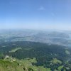
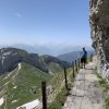
Once at the top we didn’t know where to go. So in an attempt to follow the signs to the bathrooms we ended up walking through a dark, cool cave with window cutouts. At the end of the tunnel the trail continued up along the side of the cliff. Not knowing exactly where we were, we just continued forward until we reached the top! From the top the views were beautiful; in one direction snow capped mountains in the distance, in another direction Lake Luzern and its surrounding cities, and in a different direction green rolling hills. Despite the hazy skies the views were fantastic.

Also from up top, we were able to get a sense of how to navigate around the top of Pilatus and see where all of the various trails went. So, we picked another peak, Esel, and started our walk over. On the way, we were treated to an alphorn performance.

After listening to a couple songs we continued up to our second peak of the morning, Esel. Lots of steps and a cache later, Carson learns that there is another cache (with a high difficulty rating) at the far end to the long and winding trail that leads to the top of the third peak. We are both hot, wearing tennis shoes, and the trail is along a steep and rocky cliff, what could go wrong!

A mile later we finally make it to ground zero and begin the hunt. After twenty/thirty minutes, we concede the find and continue up the switchback trail to the top of this peak. Once again, the view up here was impressive, but could have been better if the haze wasn’t quite so bad. From here, we hike back the mile and head straight to the cave trail we previously walked to cool down a bit.

By now it was time to head down the mountain and continue on with our day. This time we took the cogwheel train down the 48% slope to Alpnachstad where we grabbed some ice cream and started our train trek into Lucerne. We had previously talked about spending the afternoon exploring the city, so why let a little mid-90° heat keep us from our plans!

Our first stop was the Chapel Bridge where we found the answers to a letterbox cache that we would attempt later. From here, we walked through town to the Lion Monument for another, wait for it… you guessed right! Another cache!! (Insert Amber eye roll here…) now it was time to find the final for the letterbox from before.

For finding this final, I think we subconsciously wanted this one to last as long as possible. To achieve this goal, Carson put the coordinates into Google Maps and we started on our way… straight into a private drive. So we re-evaluated the map and ended up in another private drive. So we re-evaluated the map and decided this time to stick to the larger roads and take the long way around the big fortress wall to the tower at the top of a hill. With the cache finally in hand, we headed back to the hotel for a couple of sorely needed cold showers.

Day Eight: Weeeeee!!!

Today is a travel day, so we spent the first little bit of our morning trying to get all of our stuff back into our bags, grabbing a quick breakfast, and checking out. From the hotel, we went directly to the train station and headed off to Grindelwald for our next adventure.

We made it to Grindelwald around 9:45. Then, dropped our luggage & bags at the station and bought our First (pronounced feerst) Adventure Packages. From here we hiked farther into town and up the hill to the gondola that took us to the top.

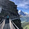
While at the top of First, Carson found a cache and we walked the Cliff Walk. Then we finally got to the reason we were there: the zip line 🙂 After signing the I-promise-not-to-sue-you-if-I-die forms, we clipped into the seated harnesses and waited for the countdown. 3… 2… AAAHHhhhhh!!!!! This specific ride was 800 meters long while 50m above the alpine meadow and can reach a top speed of 84kph. Also, you can ride up to 4 people at a time, so Carson and I got to ride side by side (at least until I picked up speed and zipped ahead!)

After dismounting from the zip line, we moved onto the mountain carts. These carts are basically tricycles for adults that are built for off-roading. However, these do not have any pedals nor an engine and rely on down hill momentum for speed & hand breaks to slow down around the curves. THESE WERE AWESOME! The route for this portion took us about halfway down the mountain. The first two thirds of the route was roughly maintained trails and roads, while the last third was concrete lattice, think old school patio. At the end, we traded our carts for trottibikes.

These scooters are exactly what you are thinking: two wheels, one in front of the other, with a platform in between and handlebar breaks. The route for this activity took us down hill along asphalt trails and country roads. However, the last little bit of your ride took us back into Grindelwald and up hill a bit. Then uphill a lot to return the scooters to the gondola station at the beginning.

From here we decided it was time for lunch and there was a restaurant that I had read about earlier in our trip and was pretty excited to get to try it. So we walked to the edge of town and discovered that Onkle Tom’s is currently closed until July… Well, booger! Plan B was C und M, and this was a winner! They have a pretty small menu that is very seasonal, so we both ended up getting the same dish: tomato/mozzarella and pesto ravioli with an oil/diced tomato/basil dressing.

Our afternoon was not nearly as entertaining… it involved getting our bags from the luggage check, loading into another train, switching trains, and checking into our hotel, just in time to go to dinner. Everything here in Luzern seems more upscale than what we have been privy to so far. So, we picked out a restaurant that was close to our hotel named Stern and asked the lady at the front desk if we were dressed appropriately for this place. In her sweetest, noncommittal voice she said, “ummm… well?…” In layman’s terms, no, but we went anyway! This turned out to be a great choice. We sat outside and our waitress was in jeans, so we didn’t feel so out of place in our attire. Then, we ordered wine with our dinner and splurged for an assorted dessert.

Finally, back to the hotel for bed!

Day Six: Lazy Laundry Day

Well, you read that right, laundry day… After a week away we were running out of clean socks and shirts. So, we loaded our dirties into two small bags and headed down the hill to the laundry mat. While the laundry was running, we (I really mean Carson) worked through a few caches until our timer went off. At this point I said “See ya!” and went to finish the laundry while Carson finished a cache. Unfortunately, the clothes were not completely dry when the cycle was finished, so I hefted them back to the room, spread them out all over, and put the do not disturb sign on the door. (I could only fathom what the cleaning lady would have thought if she could have seen it!) Then we left to pursue the rest of our day.

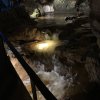
We spent the second half of our day on the far side past Interlaken exploring the St. Beatus Caves (pronounced be-at-us). We started with lunch at the restaurant there (slow and not worth writing home about), then proceeded into the caves. You have the option to go with a guide or complete the tour on your own; we opted for the self guided tour which turned out to be pretty nice. At the first stop on our tour, there was a sign that directed us to the caves’ app. This app provided detailed information on the formations inside the caves as well as the systems known history. The cave was well lit (for a cave) and the paths and stairs were well-maintained, despite being paid for only by donations and entrance fees. It took us about an hour and a half to get through it all. Once outside again, we grabbed an ice cream bar and sat in the shade until our bus arrived.

Once back on the bus, we headed into Interlaken to grab one more Grand Tour cache and dinner. This too was pretty good, but nothing special to write home about.

Day Four: Lauterbrunnen Valley Loop

The forecast for today indicated rain, so we were pleasantly surprised when we woke up to sunshine! This also gave us a sense that our plans for a hike today may not be a wash after all.

So, after breakfast, with our hiking gear and rain jackets on our backs, we headed out to catch the cable car to take us up to Grütschalp. This cable car was pretty interesting in that it had a cargo hold that hung underneath to easily move construction materials up and down the side of the mountain. This time it was hauling lumber.

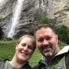
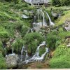
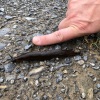
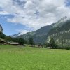
Once at the top, we checked our map and started the 2.6 mile track to Mürren. This hike was considerably easier than our hike a couple days ago as it was fairly flat and well maintained. Along the way, we were treated to a walk through cattle, (I really wanted to pet one, but didn’t…), slugs as fat as your thumb, and waterfalls.

Shortly before arriving, with distant rumbles of thunder in the air, Carson took a moment to pause and reflect on his actions… What action is he reflecting on, you might ask? Well, the action that he made that caused him to delete all the pictures from the good Camera… it was a pretty grumpy walk into town…

After accepting that the pics were gone, we ventured into town and started to get sprinkled on. So we paused to gear up for rain; rain jackets, pack covers, and prayers. Not two minutes later, the sky opened up into a pretty good shower. Unfortunately we were on the far side of town from our next stop the cable car to Gimmelwald, so we cranked our feet into a higher gear and hassled through! On a positive note, we have decent gear and stayed dry underneath it all 🙂

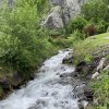
Due to the rain, we tweaked our plans a bit from Mürren and instead of hiking we took the cable car down to Gimmelwald, then another down to Stechelberg, and finally a bus to Trümmelbachfälle for lunch. As we sat down to have sandwiches, the rain let up and the sun started to peak out again. We then headed over to explore Trümmelbachfälle. This is a massive waterfall that traverses mainly along the interior of the mountain with several viewing platforms along the walk up. There is an option to take an elevator from the bottom to half way up. We opted to walk all the way up but took the elevator back down.

With the sun peaking out, we spent the last part of our afternoon hiking through the Lautrebrunnen Valley, taking pictures and finding geocaches along the way. Hey!!! He found them! While taking a picture of a snail, Carson found the pictures that he thought had been deleted.

We topped off the day with dinner at Hotel Oberland with a couple of tall local brews, schnitzel for me, rösti for Carson, and chocolate fondue for dessert.

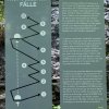
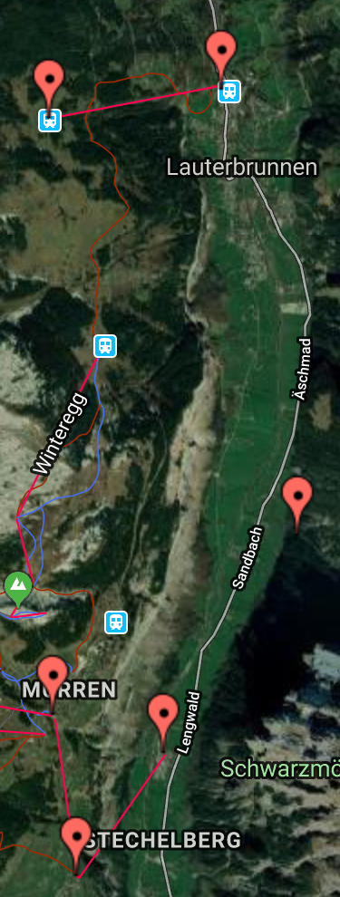
We started at the topmost pin and worked our way around counter clockwise.

Day One: Soooo Stinkin’ Tired

We made it! We left home at 8:15am on Sunday and arrived in Zurich at 8:30am on Monday, for a total of 17 hours… Oy! But now the fun can begin!

We spent our first day trying to kill time until we could collapse at a reasonable hour. So, we put our luggage in a locker at the train station and hit the streets of Zurich. In true Caron Monroe fashion we spent the better part of the day hunting geocaches and not finding any of them! However, on a positive note, we did get to walk all over the city and had really good burgers and shakes at The Butcher (a restaurant that we may not have known was there if we hadn’t passed it half a dozen times.)

After lunch we attempted to find one more cache but again no luck. So, we gathered our luggage and boarded the train to Appenzell. By mid-afternoon we were checked in to our hotel and out about the town exploring and attempting a few more caches. We started with a field puzzle cache that required exploring the main street. Part way through our exploration we sidetracked to get a webcam cache for our 1200th find! Then back to work on the field puzzle. Unfortunately, we spent a quit a while trying to get our numbers to work, but again came up empty. So, hey, why not try for yet another cache, maybe we can break this negative cycle!? Nope, not tonight! This was just one more objective leading to yet another DNF… I suppose major exhaustion and sleep deprivation do not mix well for successful caching.

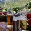
We give up! Time for supper! This, my readers, was a success. We ate at Gass 17 where we both enjoyed our first Swiss bier! Mine was alongside a wood fired pizza and a banana split and Carson’s was umm… (He will have to fill this in when he can think of it…)

And the finale for the day… wait for it… wait for it… SLEEP!!!!! Well, showers first, then BED!

PS, sorry we don’t have any photos from this day, we were too exhausted and preoccupied with not finding caches to remember…

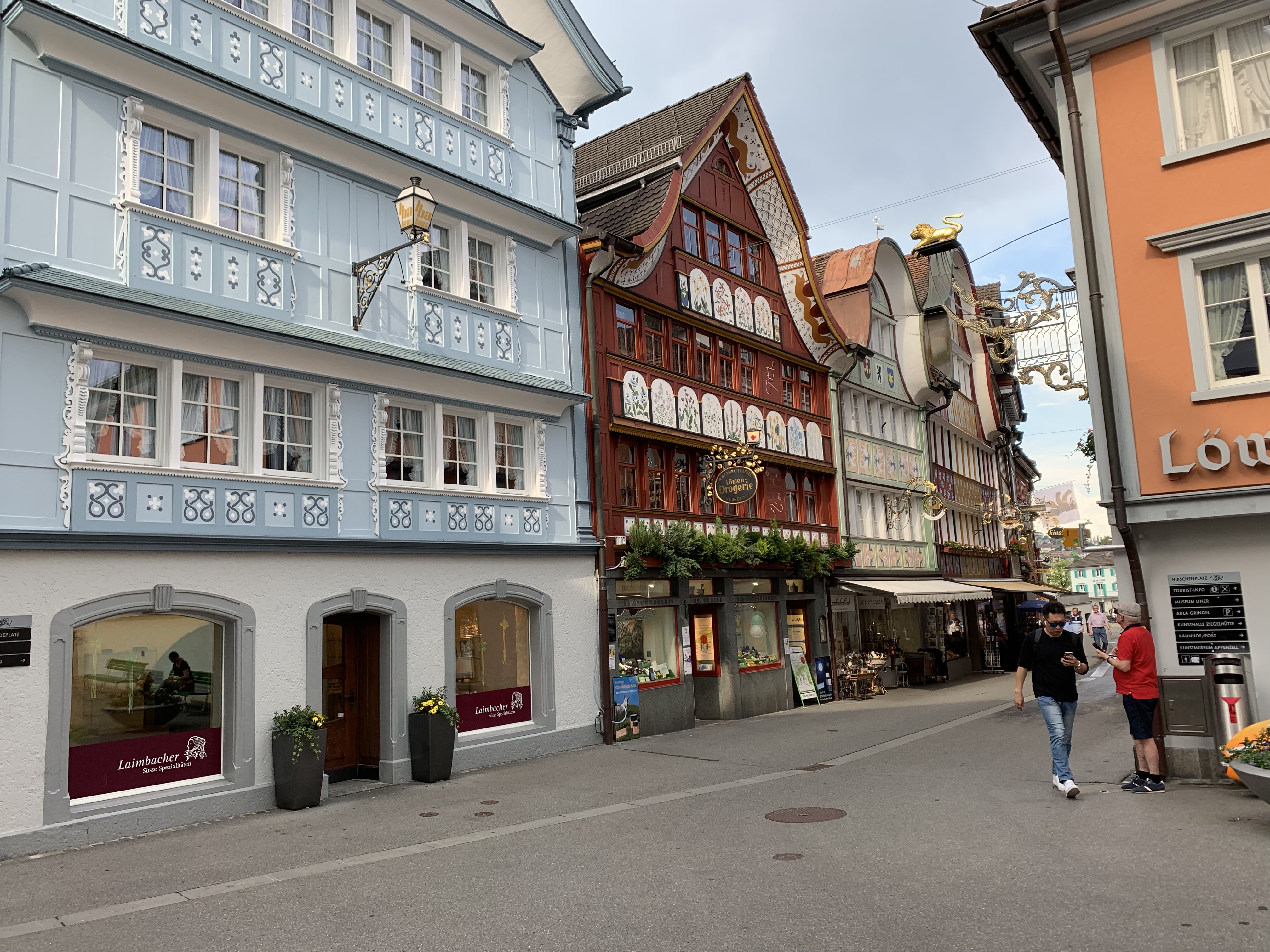
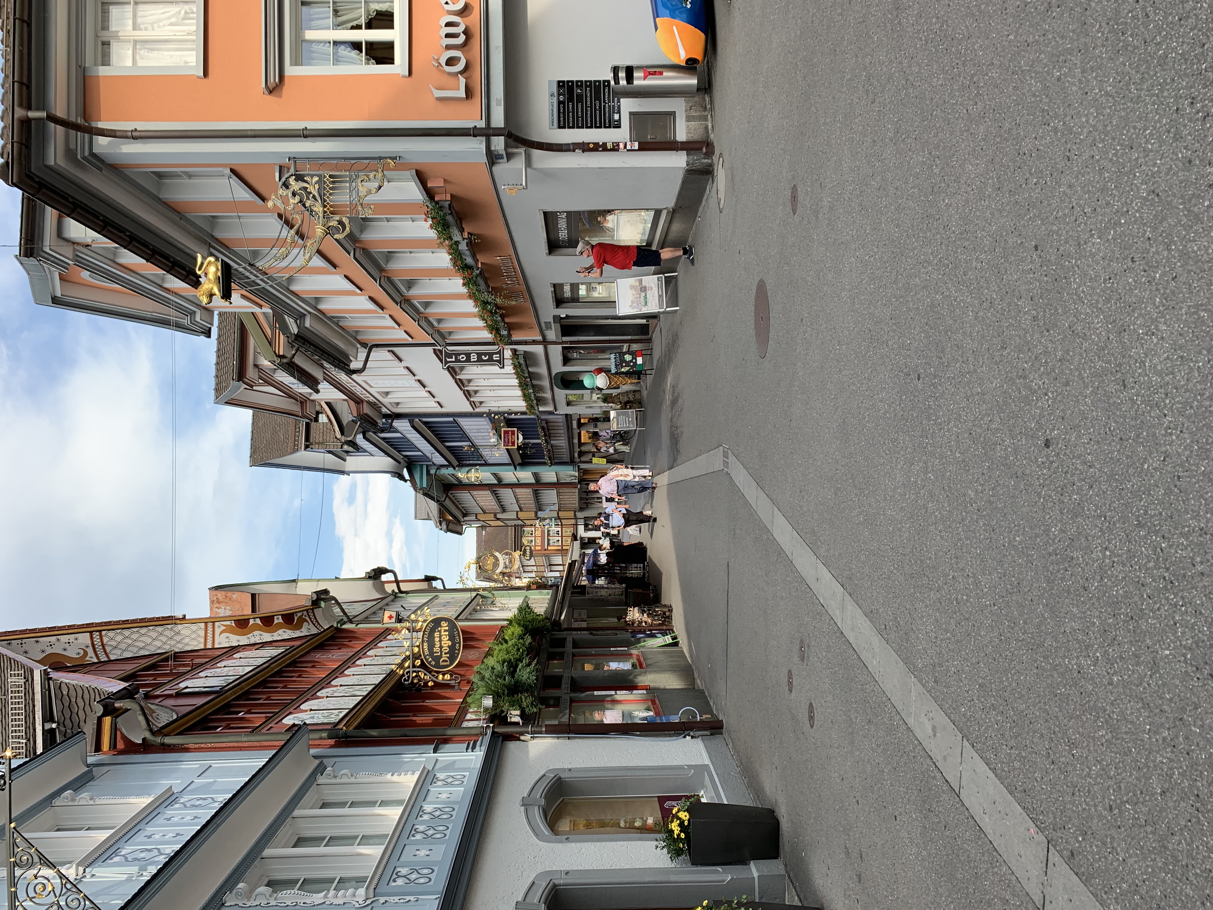
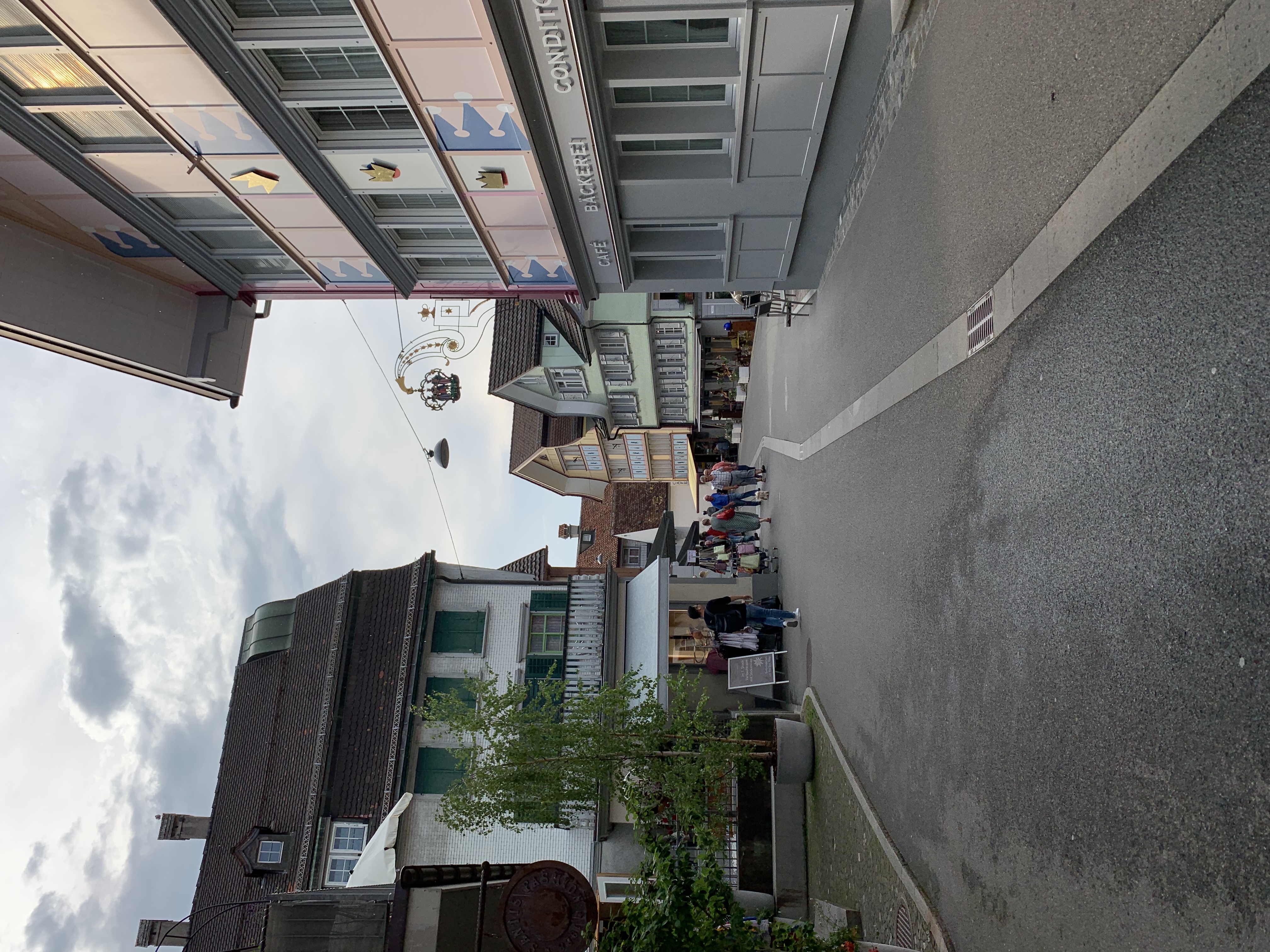
Edit: here are a few photos of the main street in Appenzell from the next day.

Day Ten: Our Version of the Golden Circle

Today definitely has the most stops of our entire trip! The typical “Golden Circle” that many tourists complete in Iceland includes stops at Gullfoss, Geysir, and Þingvellir. We went to Þingvellir early in the trip, so decided to add a few more sights to our version. It will be easiest to break this down by each stop. 

7:30 AM – Collect boxed breakfast from kitchen fridge at Lindartún Guesthouse (Thank you, Kristin! It was really good.)

7:32 AM – Depart for our version of the Golden Circle.

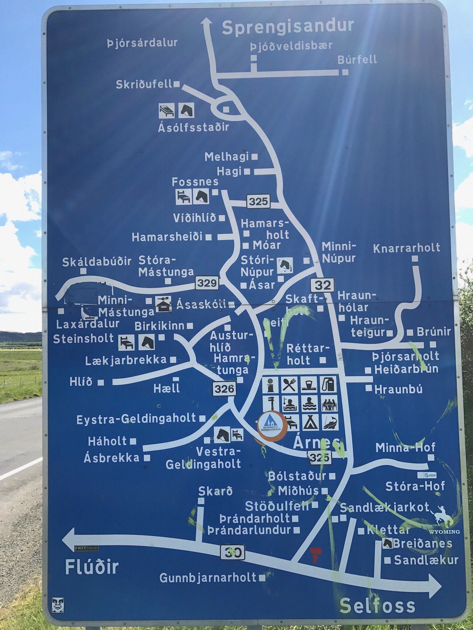
8:10 AM – Spotted this crazy info sign.

How is anyone suppose to be able to read this while driving by!?!?


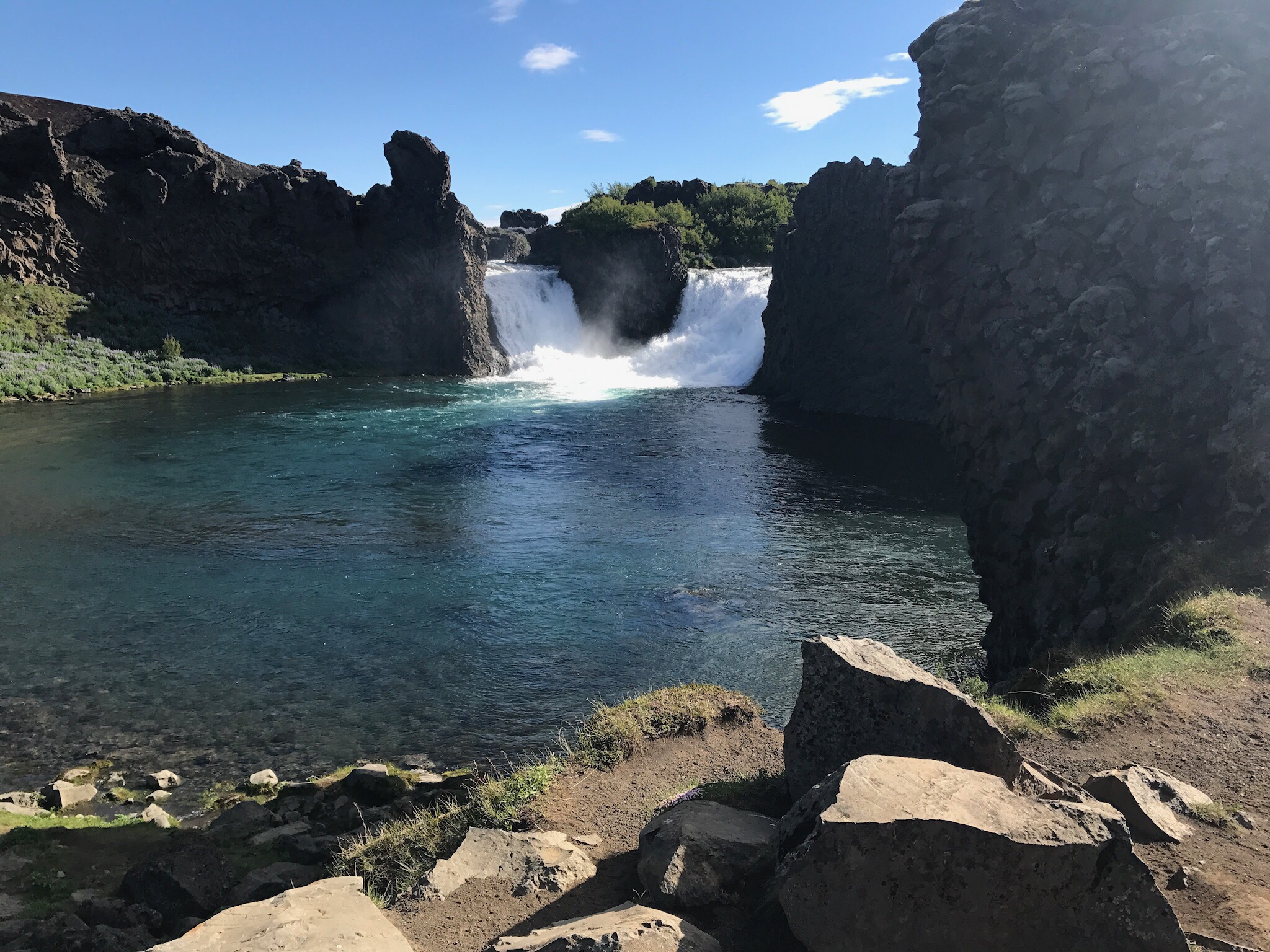
8:54 AM – Hjálparfoss. This is a really pretty double waterfall. The parking area and trails leading down to the falls are currently in the process of being upgraded with steps, wooden paths, and several viewing platforms. This will likely start to become a more sought after location but for now we got to enjoy the space by ourselves this morning.

9:32 AM – Stöng. This is the site of some Viking longhouse ruins. Meh.
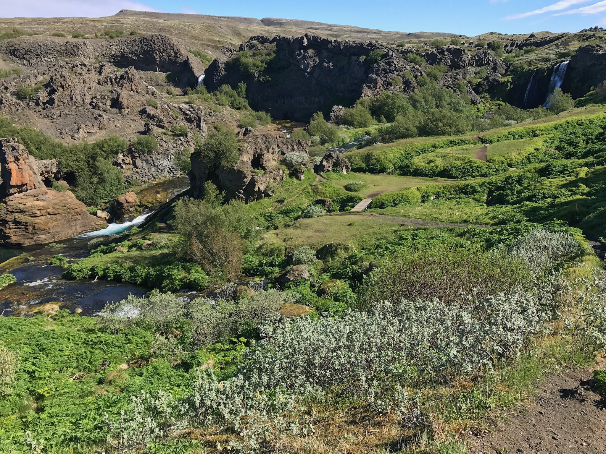
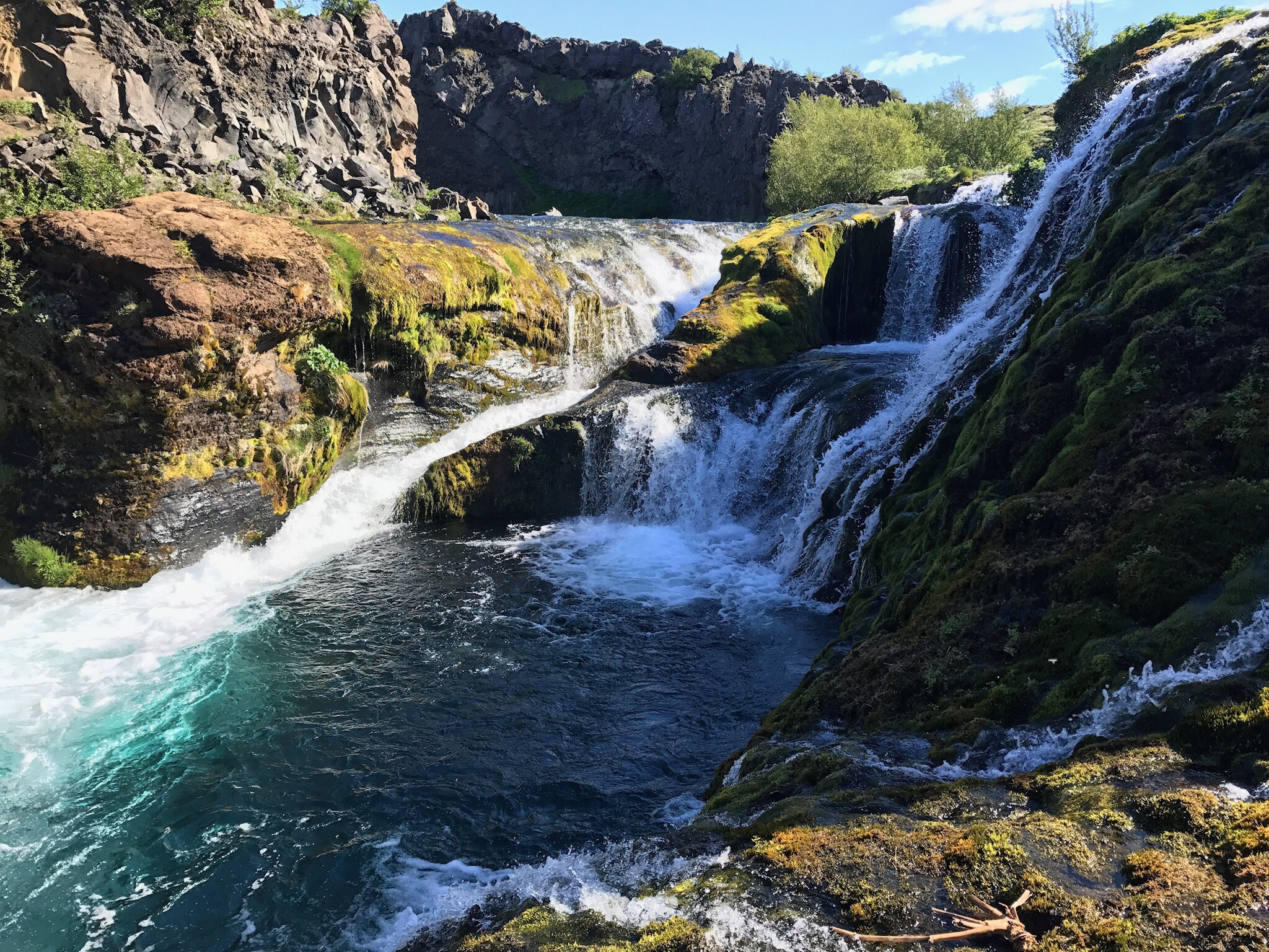
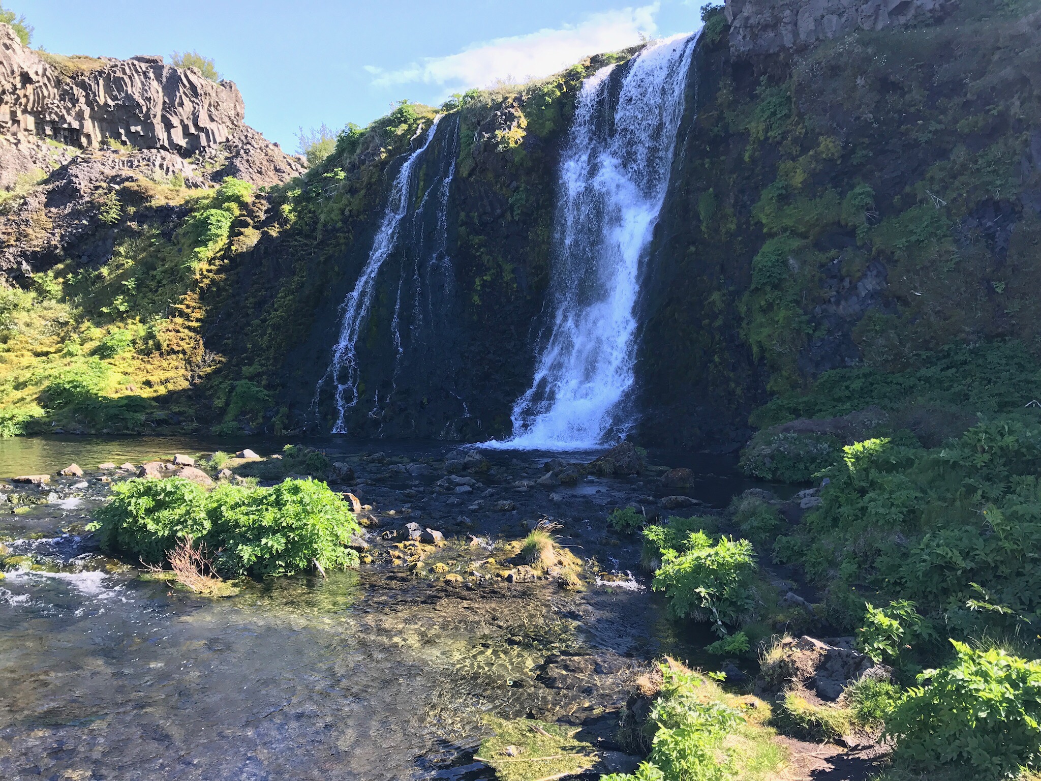
9:47 AM – Gjáin. This is a fantastic canyon area with simple foot paths leading everywhere you could possibly want to go, several caves you can explore, and a stream you can stand in with multiple waterfalls. Before arriving, we really where not sure what to expect from this location, but it definitely exceeded anything that we could have imagined. Definitely one of Iceland’s best kept secrets!

The initial view as descending into the canyon.

One of several waterfalls formed by the river within the canyon.

One of two falls that fed water into the canyon.


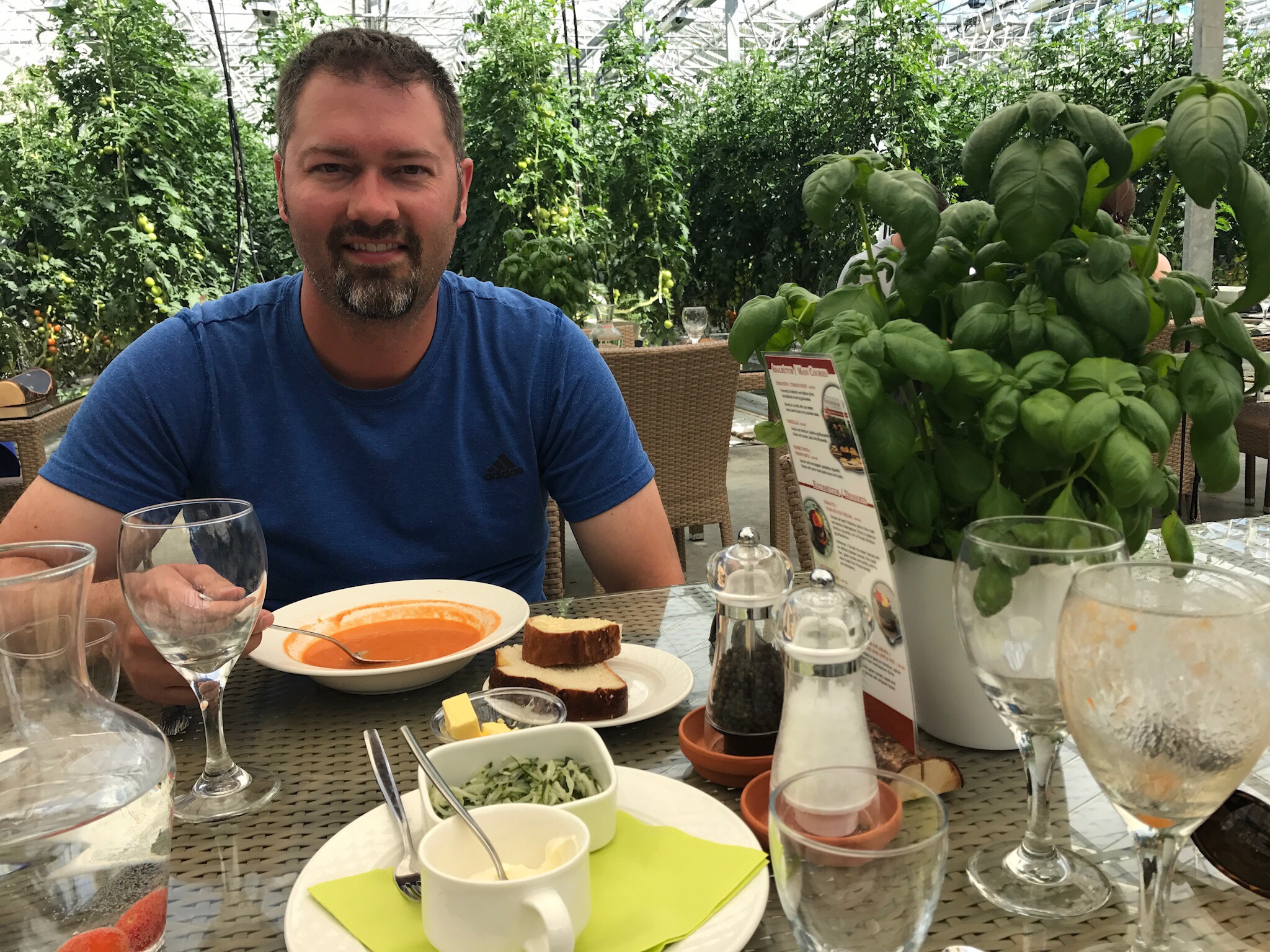
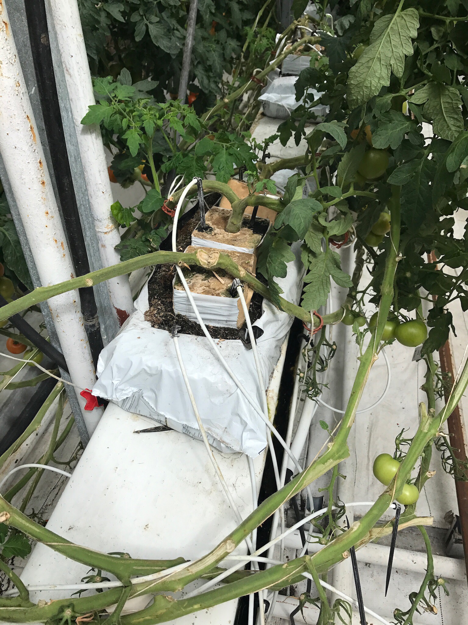
11:50 AM – Lunch at Friðheimar Farm. This place is most widely known for their tomato greenhouses. 18% of all Iceland domestic tomatoes are produced here. They use hot spring water to warm the houses, clear glacial water to water the plants, pumice stone for soil, pump in CO2 to promote photosynthesis, and bring in boxes of bumble bees to pollinate. Also, since Iceland is so isolated they very few pests to manage and the pests that do exist are managed by introducing other egg eating bugs. They produce year round at a rate of nearly one ton of tomatoes per day. Friðheimar Restaurant offers a small tomato-centric menu. For lunch Carson had schnapps served in a hollow tomato and the tomato soup buffet. I had a Bloody Mary and cheese ravioli with red and pesto sauces. Then for desert, we split an ice cream with two types of tomato spreads on top and an apple & green tomato pie. So yummy!

All the tables for the restaurant were next to rows of tomato plants. That’s fresh basil growing on the table.

Each plant grows in pumice stone which is apparently easier than using soil. Each plant was draped low and then hung from poles near the ceiling, so they were at least 12 feet long.


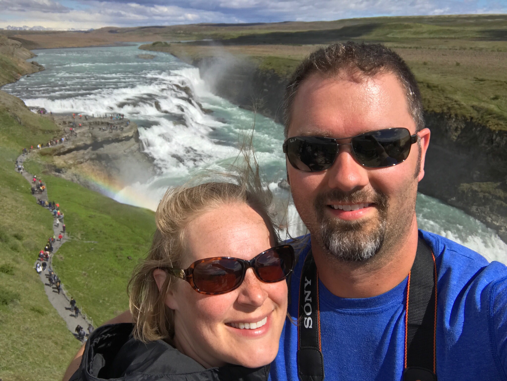
1:52 PM – Gullfoss, the golden waterfall. This is a two tier, wide, massive waterfall. The most interesting thing about this one is that the river that flows out of it at the bottom is actually perpendicular to the flow of the falls.

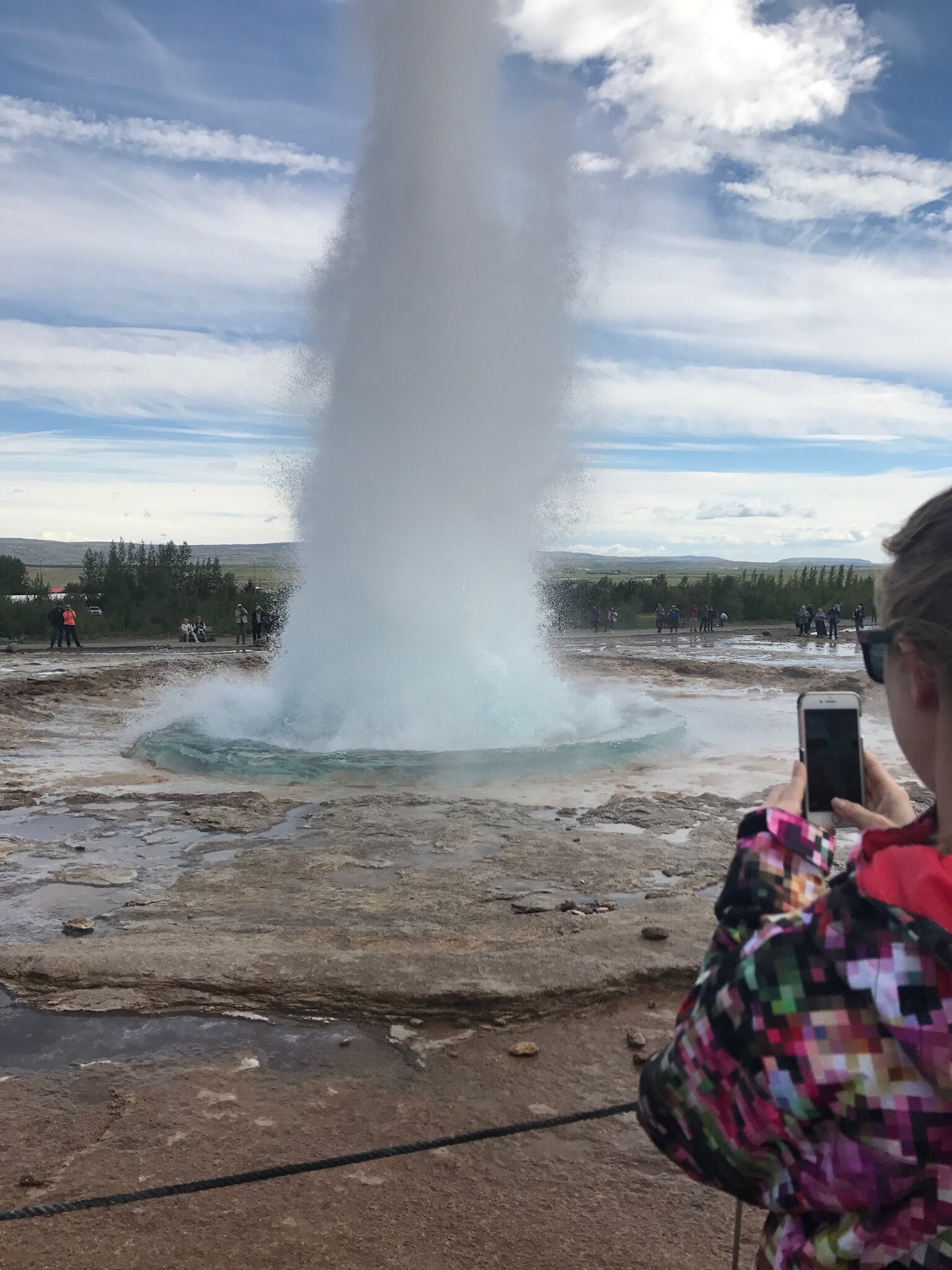
3:09 PM – Geysir Hot Spring Area. Due in part to internal rock collapses and tourists tossing things inside, Geysir has not erupted with regularity in several decades and has not erupted at all in several years. However, Strokkur is an active geyser just a few feet from the namesake that generally erupts every 6-8 minutes.

This is actually a live photo that captured the beginning of the eruption. Once Carson figures out how to turn it into a GIF or video, we will post it.


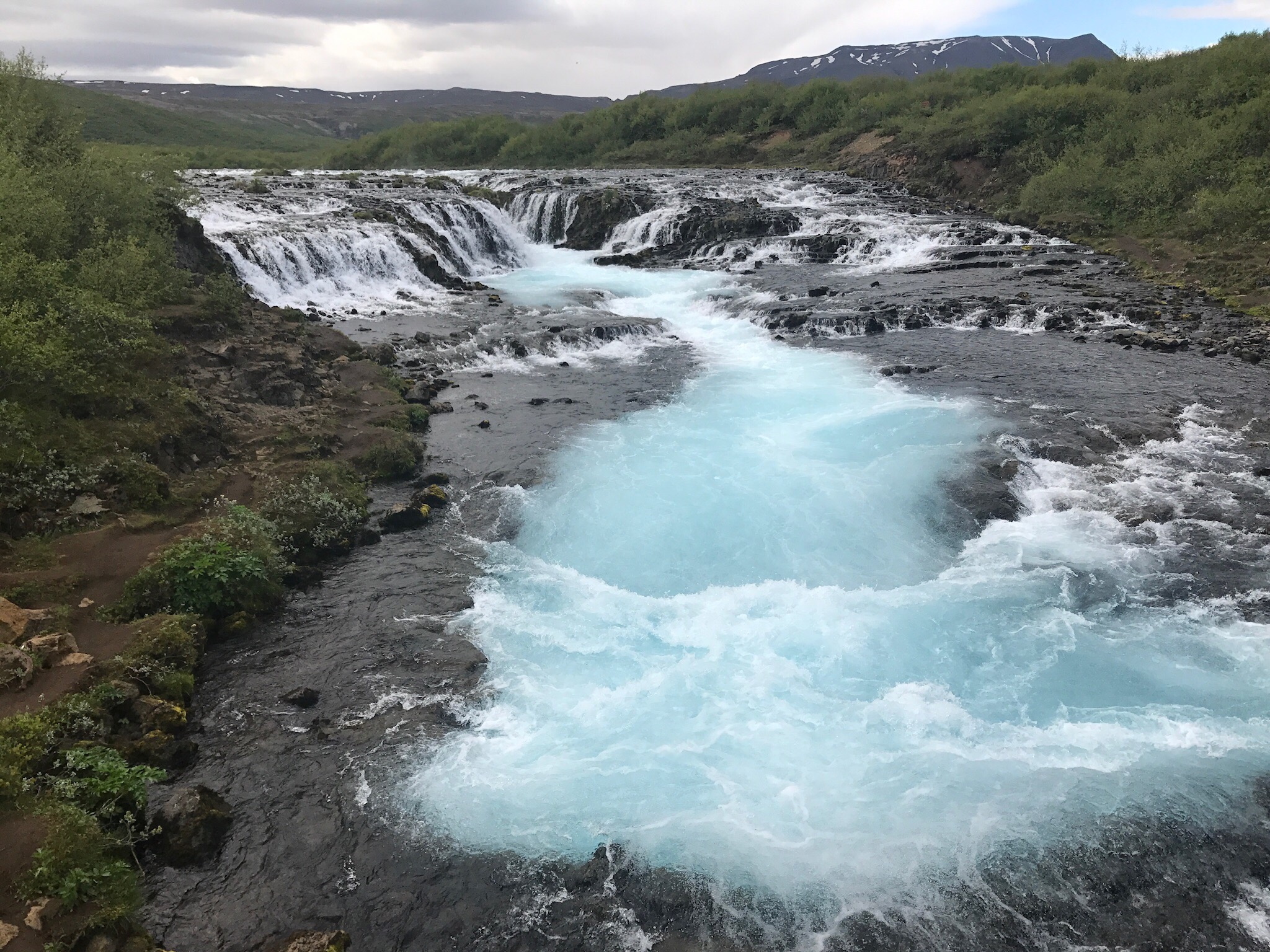
4:02 PM – Arrive in the general area of Brúarfoss. We knew from the start of planning our trip that finding this waterfall might be a bit tricky. None of the driving directions we had found were very clear and all indications were that this might take some trial and error. We found the main road pretty easily but everything from there was unclear. We paced this road a few times before finally pulling up the waterfall on the Cachly geocaching app’s offline map and attempting to follow the roads and paths until we got as close to the falls as we could in a car. This actually worked! We found a small parking area with a footpath leading toward the sound of the falls. We followed it until we found the falls.

4:27 PM – Actually reach Brúarfoss. The journey here was well worth it. The waterfall flows over a long crevasse with water covering all edges. The water down the center of the falls and river was a brilliant blue. The pictures do not do it justice!


5:30 PMSecret Lagoon. Here we enjoyed our first true Icelandic pool (it’s actually the oldest in the country). Before entering pools in Iceland, you must remove your shoes at the door, shower naked to wash all icky parts with soap, and then put on your suit and get in. If you are body image shy, then you might want to just skip these pools. But really, this was worth any possible embarrassment. This pool is hot spring fed and completely relaxing. And made even better with a glass of wine or beer.

7:16 PM – Burgers and ice cream at Efstidular II. There’s just something about a burger with an egg on it. Yum! This is called Efstidular II because the original farm was co-owned by two families who later decided to split it. Icelanders aren’t very creative when it comes to names. 

9:32 PM – Check into Hotel Hilda in Reykjavik.

Day Eight: Die Another Day

Well, we finally did it. Eight days into our trip and we are finally stopping at a location recognizable from a movie. But that didn’t happen until the afternoon, so more on that later.

We originally had two options for this morning, but we decided that neither of them sounded particularly appealing to us anymore. Instead, we grabbed Eyjólfsstaðir Guesthouse breakfast, then explored a hiking trail around their property. A good portion of it followed a river, while other parts went through a small forest (a rarity in Iceland). It was a nice unplanned surprise.

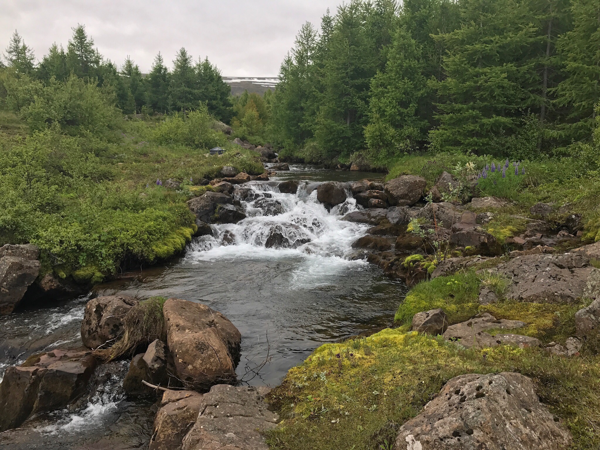
This was one of the falls in the river around the Guesthouse property. We were the only two out there, so it was very quiet and peaceful.

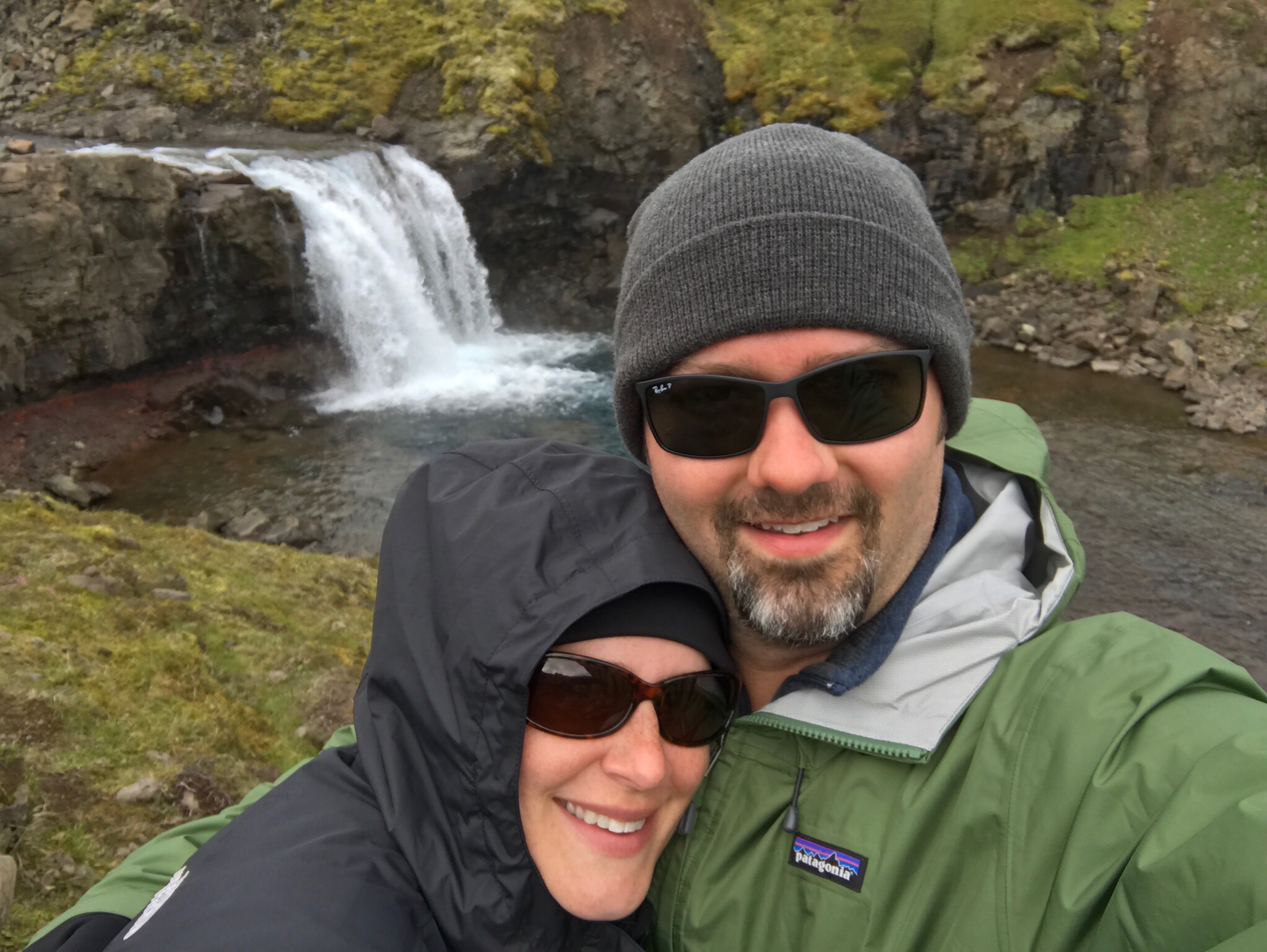
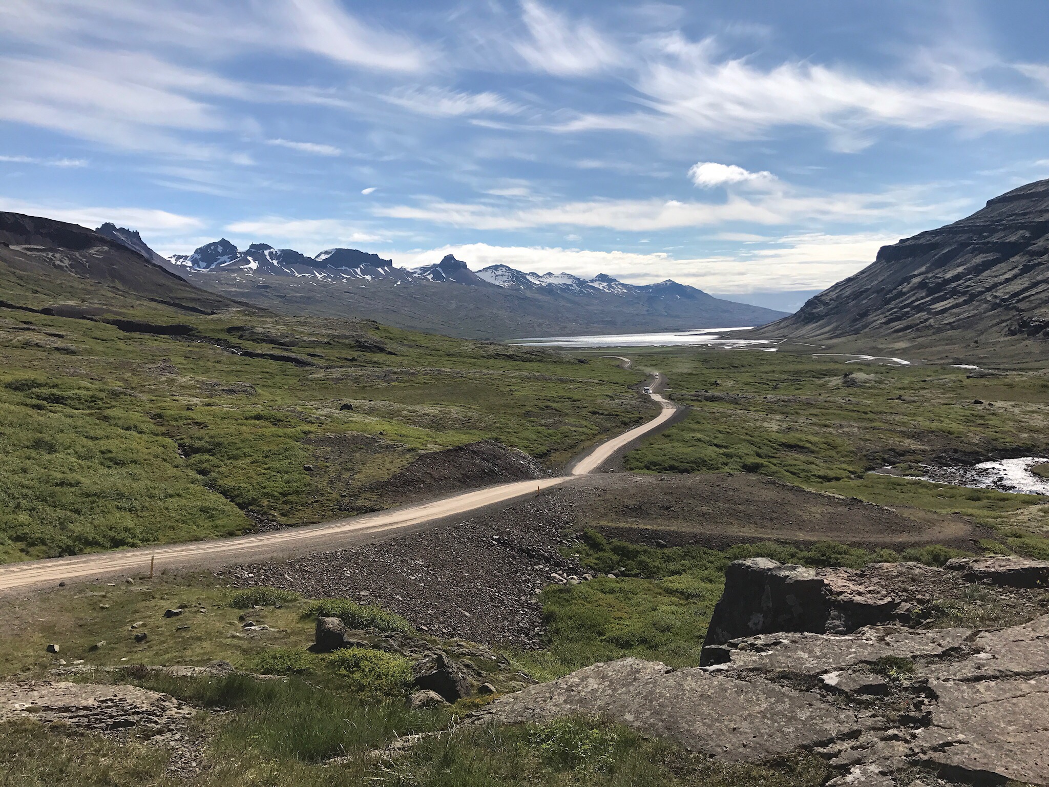
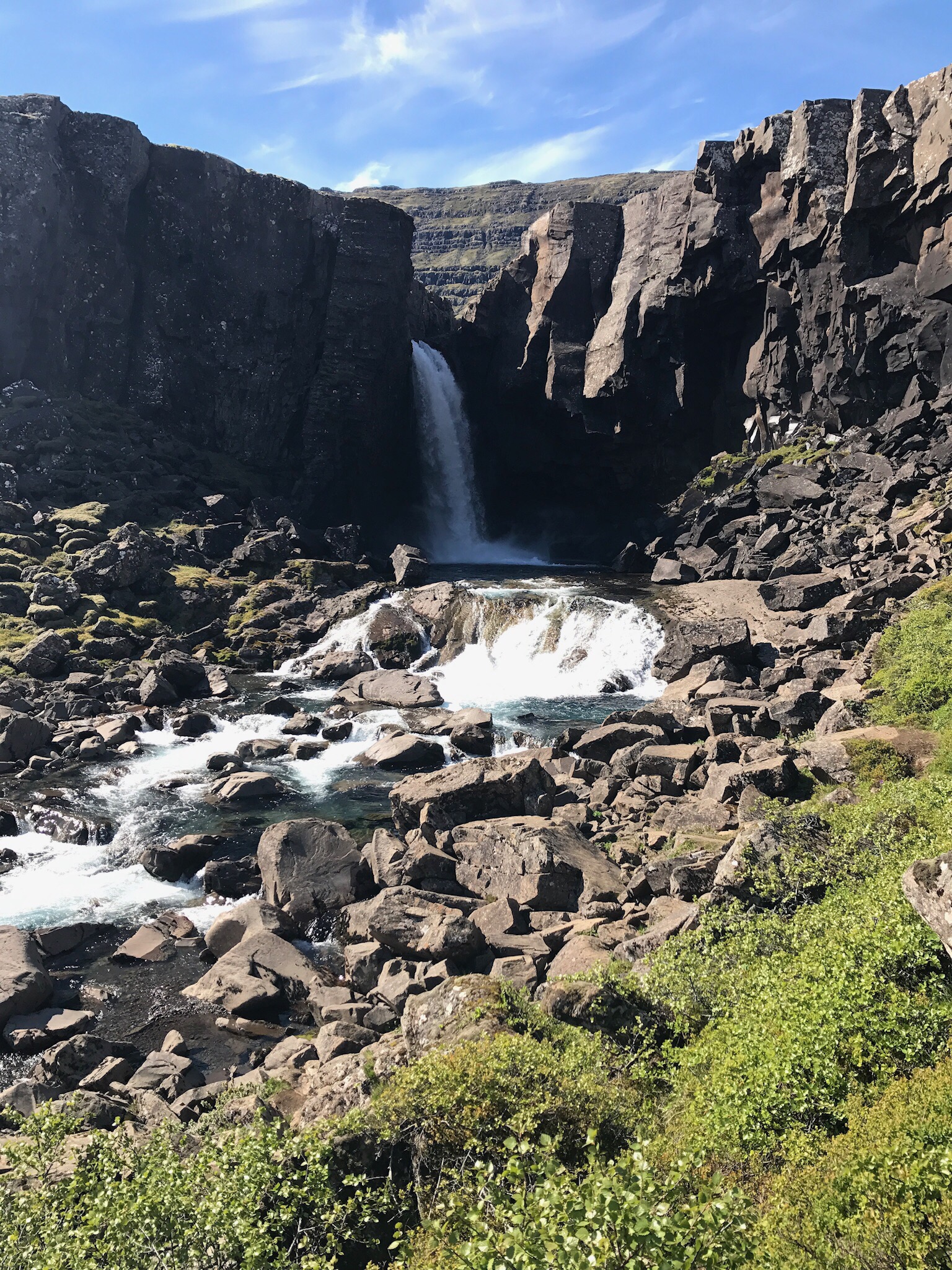
Next it was time for another nice surprise. Because we changed our morning plans, we really weren’t in a hurry to get to our next stop. Amber starting looking for caches we could grab on the way and found one called Öxi. The cache turned out to be named for Öxi waterfall, and it was just a kilometer or two down Road 939 from Road One. The cache description called it a “mountain road” and mentioned a 17% grade in parts, but it also said the road was well-maintained. Getting to the cache was no big deal, and we had a nice view of the waterfall from ground zero which has not been true of most waterfall caches. After signing the log, we decided to continue on 939 instead of heading back to the Ring Road. This turned out to be a great decision. We ended up going down the 17% grade instead of up which wasn’t too bad and allowed us some fabulous views over the fjord we were driving down to. We also stopped near another waterfall and had a nice hike around it. We would have missed all of this had we gone back to Road One and this was a significant shortcut, too.

A selfie at Öxi waterfall.

The gorgeous view as we drove down Road 939.

Our second bonus waterfall of the day. We didn’t know at the time, but a quick Google search says it was called Folaldafoss.

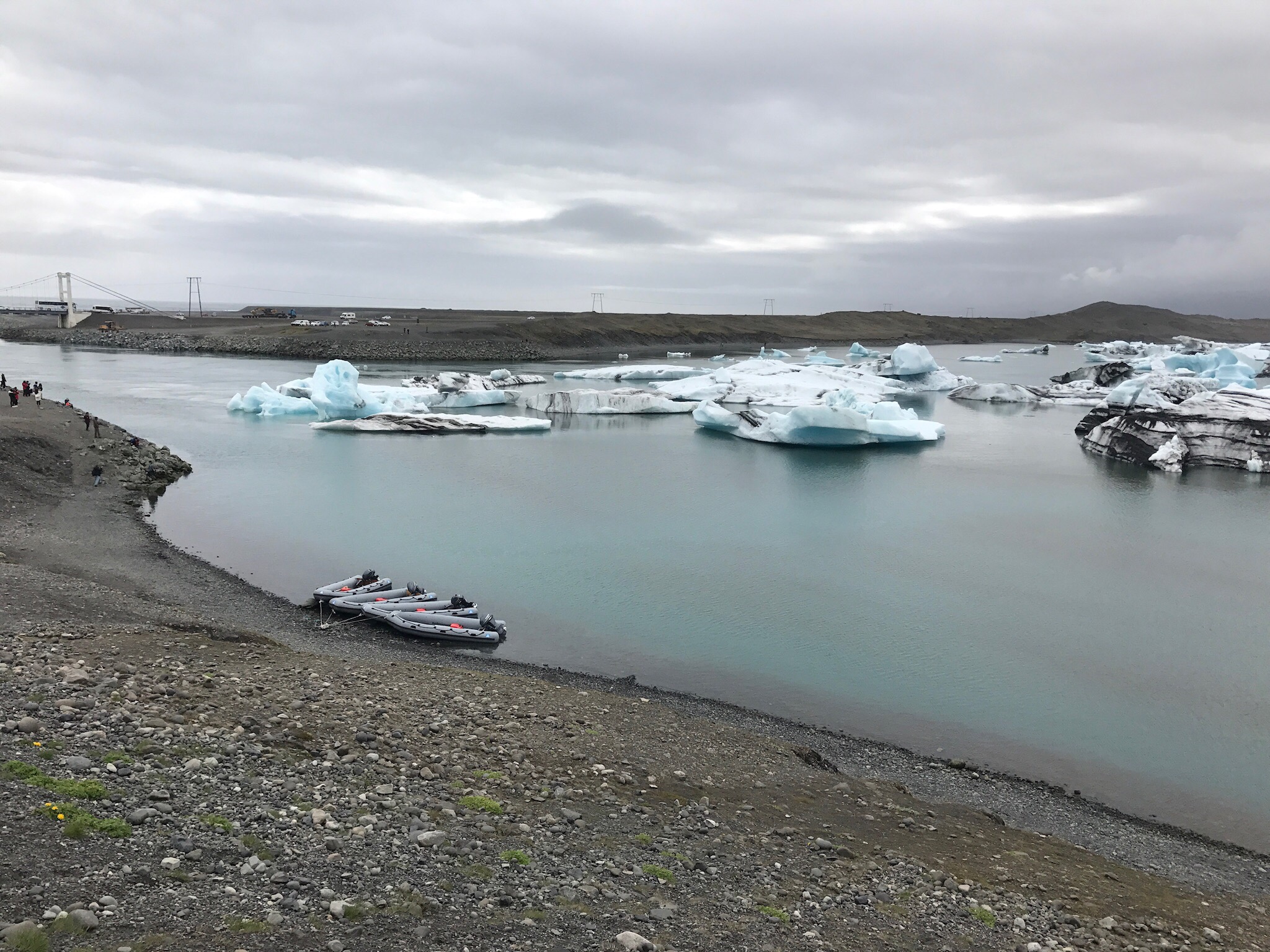
Now back to that movie thing. This afternoon we got to ride a Zodiac through Jökulsárlón Glacial Lagoon where James Bond drove an Aston Martin across the ice in Die Another Day. It should be noted that this lagoon is brackish and therefore does not naturally freeze over. To film the scene, the entrance to the lagoon had to be closed off for a period to prevent the salty sea water from flowing in. This allowed the lagoon water to clear up far enough to freeze.

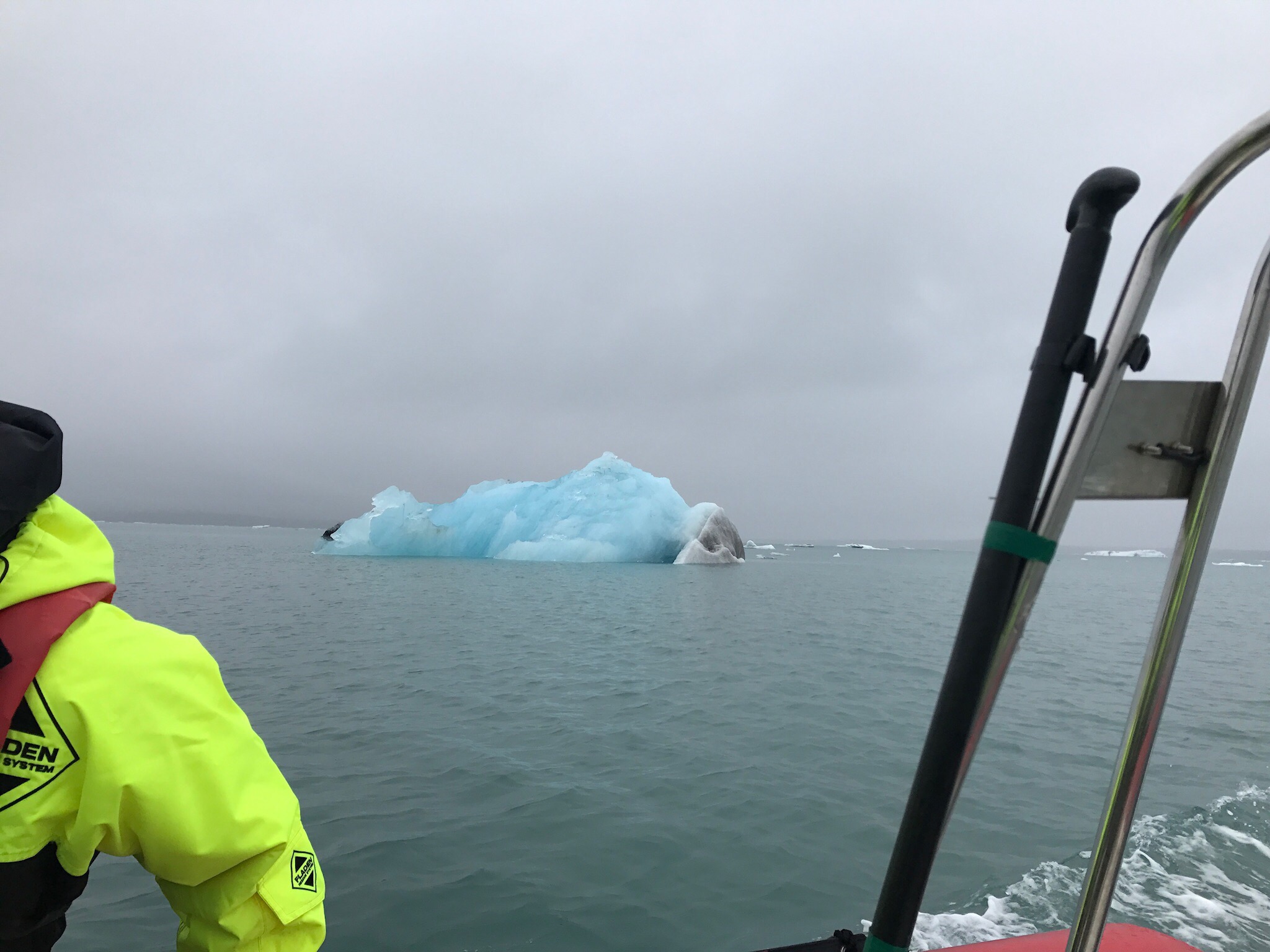
To start this tour, we once again had to put on the big floatation suits and climb aboard the boat. This was a smaller zodiac than what we were on for the whales, but still a RIB. To sit on this one we had to prop ourselves on the inflated sides and hold on to the rope on top. Our guide was a true Icelander, born and raised in the south and recently relocated to the east. From him we learned that the portion of the icebergs that are in the water are blue because the ice is so dense that only the color blue is visible in it, while the part out of the water turns white after a few hours/days because the warmth of the sun loosens the water particles and allows all colors to penetrate through appearing white. Therefore, when you see a blue iceberg this is a sign that the iceberg has recently flipped over. In fact, there was one large iceberg that had flipped just before the tour prior to ours and you could clearly see tell which portion had previously been under the water (blue) and the part that had been above (white). Also, approximately 90% of each iceberg is beneath the surface of the water and approximately 10% is visible above. He also showed us a portion of the glacier that actually grows and replenishes each winter but this past winter it did not replenish. In fact, it continued to recede back. Yet another sign that the earth’s climate is changing.

This is a view of the area of the lagoon right next to where it empties into the ocean. The current sort of swirls in the inlet under the bridge, so icebergs tend to stack up here. The zodiacs in the shot were used by tour staff following the larger Duck crafts used for different types of tours.

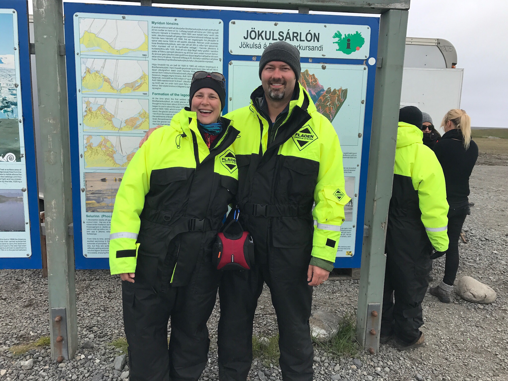
Flotations suits on and ready to go!

This is a good illustration of how much of an iceberg is underwater. The white end on the right was previously above water until it rolled onto its side shortly before we laid eyes on it.

Having been raised on a farm, our guide also talked a lot about the farming and agriculture of Iceland. He talked with us about how in the spring when the lambs are born they are marked in the ear with a tag that indicates which farm they belong to. Then the sheep are all banished from their land and actually fenced out and sent to roam the open hill and mountain sides until the fall. While the sheep are away, the farmers grow and bale the grasses on their land to store until the winter months. Then, in the fall, all the farmers in the region come together to walk all the hills and mountain sides gathering all the roaming sheep. They are then all herded into pens and sorted by farm, then hauled back to the respective farms by truck. At this point the lambs that were born the previous spring are sent to slaughter for our plates. Sad fate, but oh so yummy.

After a couple seal sightings we headed back to shore and on to Höfn. Our hotel for the night (Guesthouse Hvammur) did not offer breakfast and nothing in town would be open early enough for us to eat breakfast, so we headed over to the Nettó discount supermarket for a few fixen’s, dinner at Z Bistro for lamb and fish, then back to the hotel for bed.

Day Seven Part II: Lake Mývatn Area

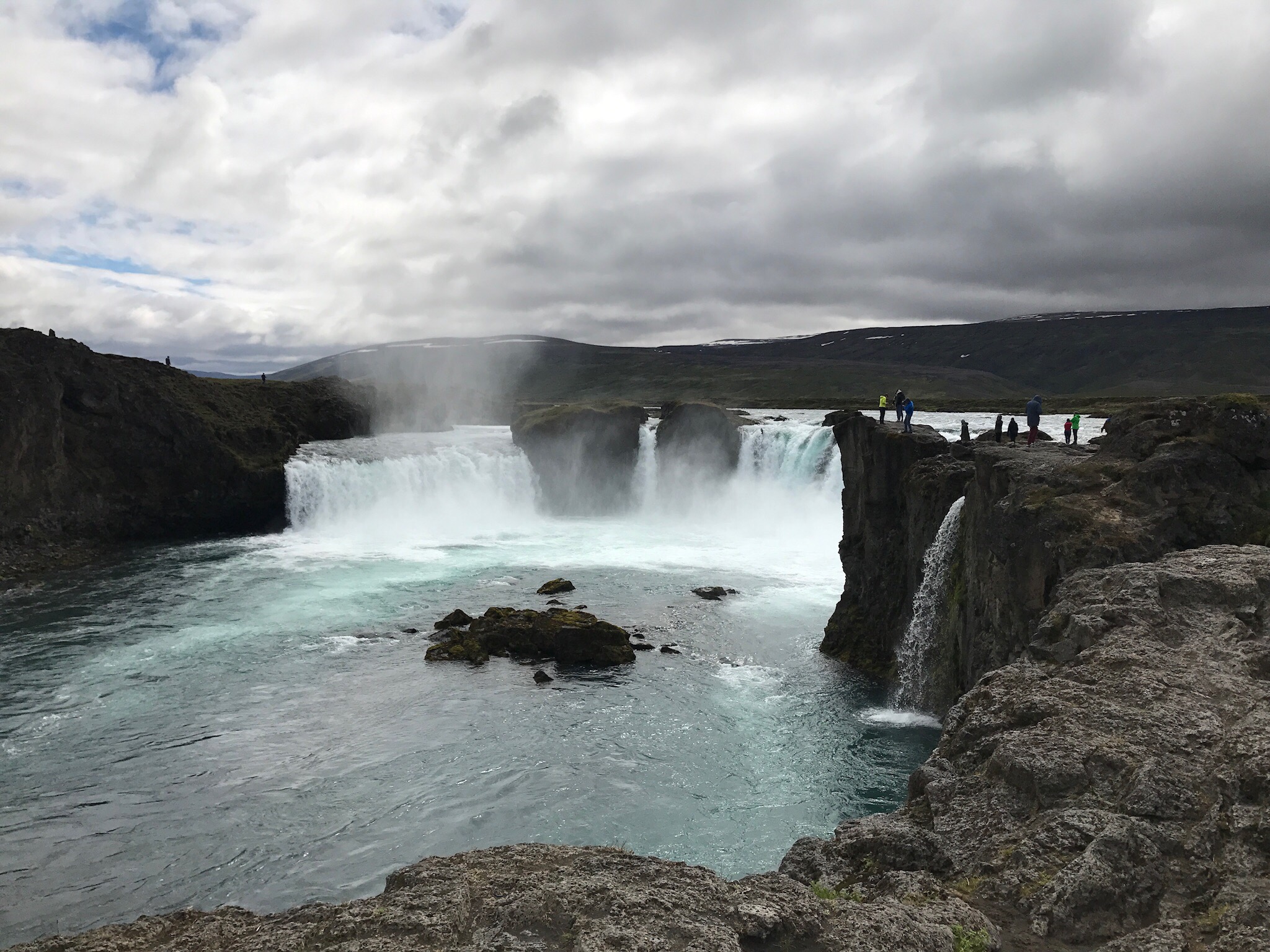
After the whale tour we headed on down to Lake Mývatn. On the way we stopped at Goðafoss waterfall. Contrary to the other falls that we have seen so far, Goðafoss is not very tall, but it makes up for that with width. Carson pulled out the camera and tripod while I headed off for another cache. After an hour of pictures and both searching for the cache we once again climbed in the car and moved on.

This is Goðafoss.


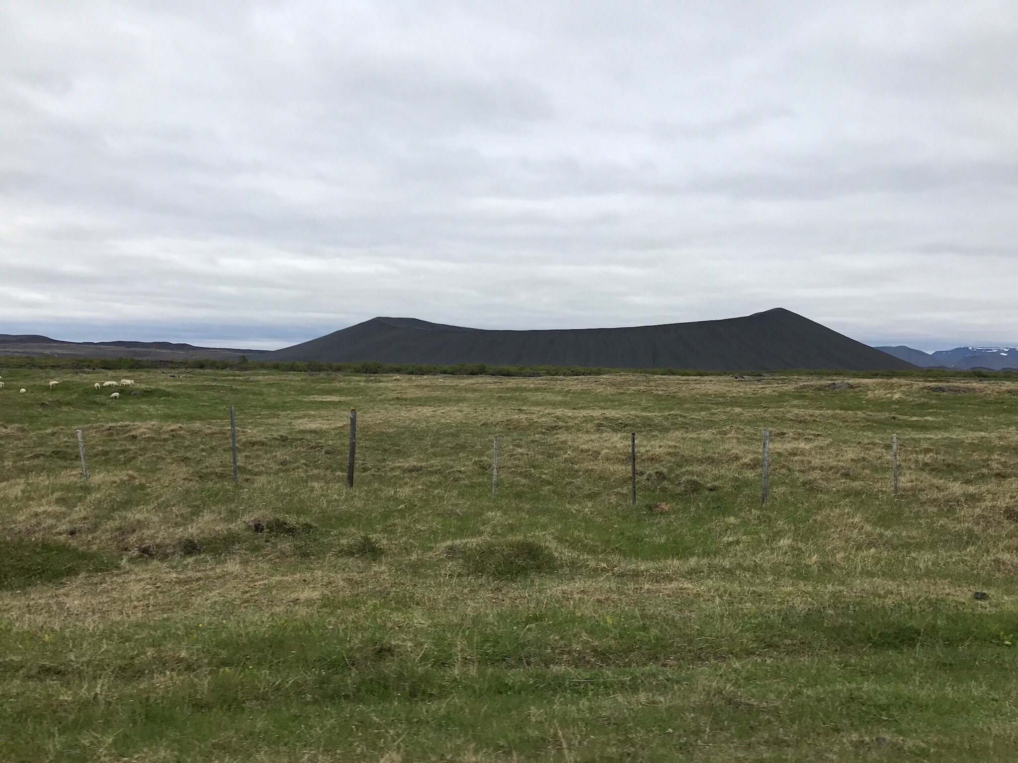
We described earlier in the day to loop around Myvatn counter clockwise coming in from the northwest. This was the only planning that we had done for this area and we forgot our travel books back at home. Let’s just say that we don’t do well without a game a little bit more of a plan… After putting our Icelandic cellular data chip to work we decided to start with a short walking trail on the south east corner, Klasar. This trail is designed for bird watching. Next, we continued counterclockwise up to Dimmuborgir. Here we got to walk through a field of lava pillars that were formed when steam rose through a pool of molten lava and cooled it. The remaining lava pool then poured into the lake. From here, we went on over to the world’s largest sand box, a.k.a. Hverfjall. In all seriousness, this was really cool. And HUGE! Hverfjall is a tephra crater formed approximately 2800 years ago. It is 1km across and 140m deep. We pulled out our trekking poles and started up the side. The view from the top was awesome. And now the best part, going down. 🙂

A view of Hverfjall from the main road around Mývatn. This makes it look short, but trust me it is not.

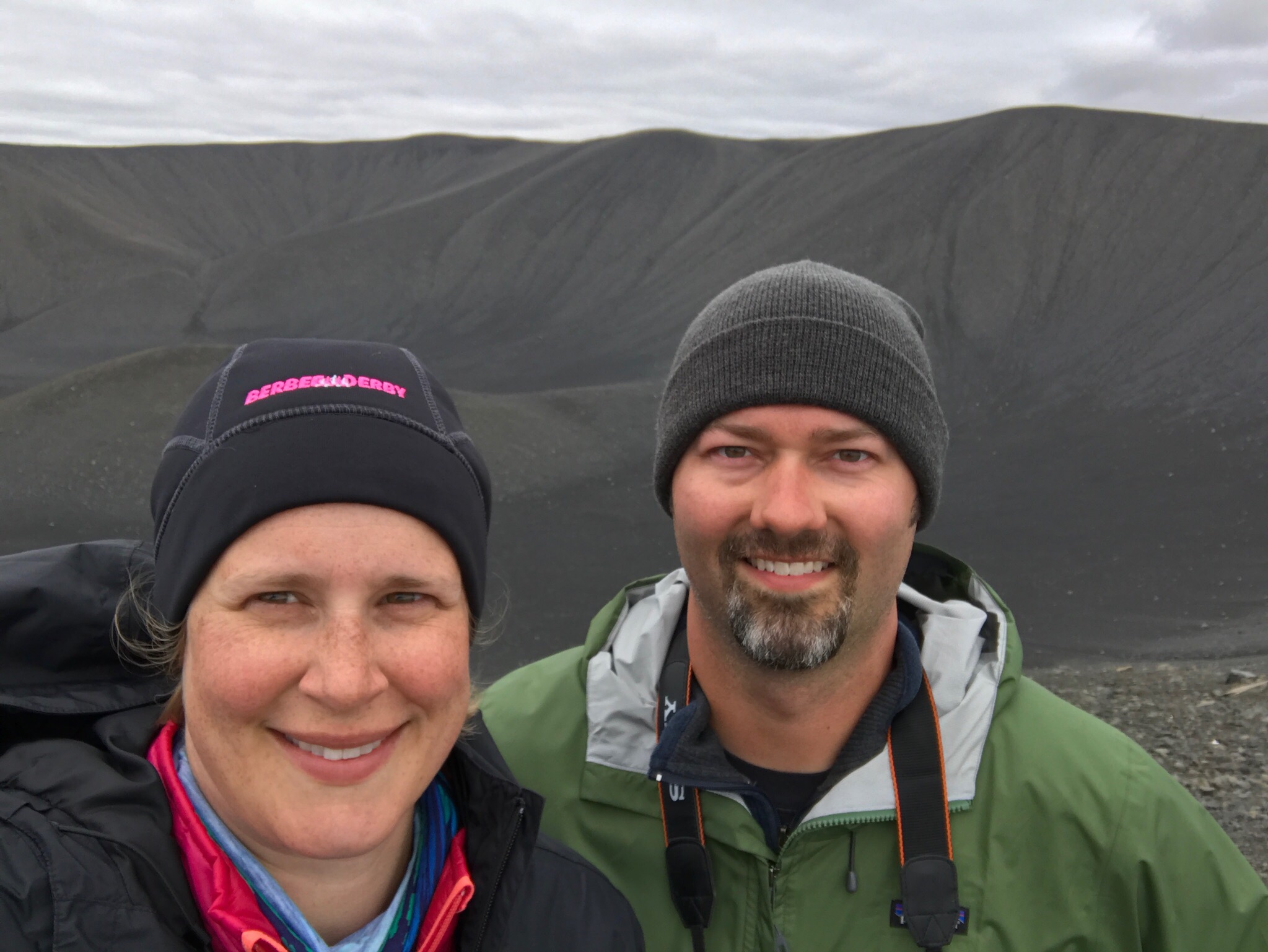
A selfie looking back into the crater from the top of the shortest portion of Hverfjall.

The path on our way down. The whole crater is basically covered in black/gray gravel, so the trekking poles were a big help to make sure we didn’t slip. Yes, that is an idiot running down the side of the crater in front of Amber.


By now it was getting late, so we decided to eat in the Myvatn area. What food is best after such a busy day? Pizza! The closest restaurant was Daddi’s Pizza. We pulled into the parking lot and could see that the place was small and packed. We took this as a good sign. We went in, ordered, and waited. But the wait was worth it! Maybe we were just hungry, but this pizza was really good! I had a tomato and basil and Carson had a supreme-ish. Oh and I cannot forget to mention the cheesy garlic bread, a must have. I think the best part of the meal is that all the ingredients were super fresh and not greasy.

After a long day, we finally made it to our hotel, Eyjólfsstaðir Guesthouse. Since we were later than expected, our hosts left our key on the desk and we let ourselves into our room for a good nights sleep.